The North Basin Strip Barrier Berm: Why the controversy?

A high priority for many of the participants at the September 24 2001 workshop was keeping the Meadow, which includes land at some distance from the freeway, relatively free of recreational activity. While the North Basin Strip, which is right next to the freeway, is where the most intense recreational uses are to be concentrated.

The North Basin Strip is only about 600 feet wide. If this is to be the site of most of the human recreational activity, it becomes extremely important to provide some kind of barrier between the freeway and the recreational open space.


The view of the freeway from the North Basin Strip

A simulated view of the same scene, with a low earth berm blocking the line of sight to the freeway.


The Coalition for Park Access and Conservation (CPAC) has recommended an earth barrier berm, but the idea has met very strong opposition from Citizens for the Eastshore State park (CESP) Board members. The stated reason for opposing the berm is that it will block the view from the freeway.

Is preserving the view of the park from the freeway more important than blocking the sights and sounds of the freeway from the park? This is a value judgment that does not need to be resolved, because there is no view of any consequence that would be blocked by the proposed berm.

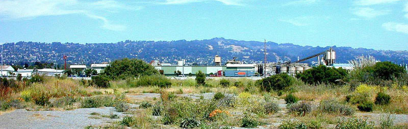
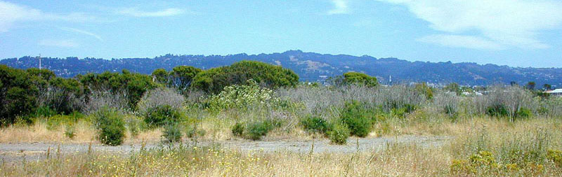
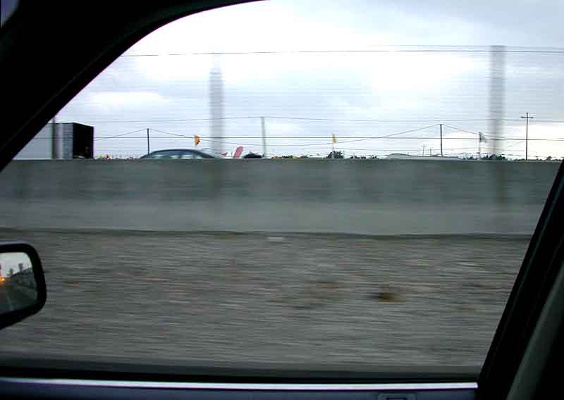
As one of the photos in this series shows, the view from a typical car window in the area of the proposed berm is nothing worth fighting for. There is no sight line to the Bay or the North Sailing Basin, and only a sliver of Cesar Chavez Park appears over the existing safety wall.

The view from the Gilman overpass is important, and this will not be affected. The proposed berm is entirely south of the park boundary, which is well south of the northern end of Cesar Chavez Park. Even from a bus window, there is no possibiity of blocking a view of the Bay or the Golden Gate, These views are only available from locations north of the park boundary.

The view from a bicycle on Frontage Road is not relevant, because a bike trails would run to the west of the berm, or possibly along the top of the berm. With either of these options, the view offered to a hiker or cyclist would be much improved over that provided by the existing segment of the Bay Trail.


This is an existing berm in the Berkeley Marina, slightly over 12 feet high. It effectively separates the Shorebird Nature Center from lower University Avenue.

If a similar berm were constructed along the east edge of the North Basin Strip, this could be the view looking south, with Frontage Road on the left, a branch of the Bay Trail runing along the ridge top, and a great view of the North Sailing Basin just out of the picture to the right.


Objection to a berm between the North Basin Strip and the freeway appears to be based on the desire to preserve views from car windows.

This photo is taken from eye level from a Honda Accord, driving southbound in the right lane just north of University Avenue, where the proposed berm would be located.

From this very average vehicle, the view is breathtakingly non-existent. The only people who will lose a view from this short stretch of freeway are those who who drive on our local freeways in SUVs.


Another example of an earth berm in the Berkeley Marina, this one along Seawall Drive. The slope of this berm is about 32%, which would require a footprint only 75 feet wide for a 12 ft high berm. A 100 ft wide footprint allows enough width on top for bicycle and pedestrian trails, for a spectacular view of the North Sailing Basin. Yet the berm is still opposed by CESP on the grounds that it would obstruct views.

As the car window view illustrates, it is difficult to identify a meaningful view that is threatened by the proposed berm. While sound walls in general might be legitmately opposed on aesthetic grounds, this is nothing like a sound wall. It has the character of a hillside, not a wall, and will become an important part of the protected open space on the waterfront.

May 2004 update: Is a berm being constructed? See the photo of the week for May 3 2004.


INDEX --- POLICY AND PLANNING --- WATERFRONT COMMISSION --- MARINA INFO --- YELLOW PAGES --- CALENDAR